
Geography
Denmark Landscape
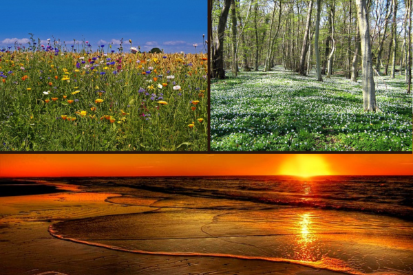
Denmark is a small country located in Northern Europe, bordered by Germany to its south and the North Sea to its west. Despite its relatively small size, Denmark has a diverse geography that includes low-lying plains, rolling hills, and dense forests. The Jutland Peninsula occupies the west of the country and is characterized by flat landscapes and sandy beaches. In contrast, on the eastern coast lies the scenic Danish archipelago comprising around 400 islands which are mostly covered by forest. The highest point of Denmark is Møllehøj at just over 170 meters above sea level. Denmark's geography has played an essential role in shaping its economy and culture throughout history with agriculture being a significant industry and artisanal crafts such as glassblowing, ceramics, and jewelry-making being highly valued cultural exports.
Overall Geography
- Plains
- Rolling Hills
- Forests
Denmark's geography consists of mostly lowlands with small hills, making it an ideal location for agriculture and farming. The country is surrounded by water on three sides, with the North Sea to the west, the Baltic Sea to the east, and the Skagerrak Strait to the north. Denmark's coastline measures over 7,000 kilometers long and includes fjords, islands, and sand dunes. Due to its proximity to these bodies of water, Denmark experiences a temperate maritime climate with mild winters and cool summers. This climate has allowed for extensive fishing industries along the coastlines as well as year-round activities such as sailing and windsurfing. Additionally, Denmark's geography has been shaped by glacial activity during previous Ice Ages resulting in fertile soil that supports various plant species including heather, birch trees, grassy plains, and beaches that are home to seals and seabirds.